
Inca Hiking
Trail To Machu Picchu - Peru
Pictures & visitor info from a trip on the Camino
Inka-Inka Trail to the Machu Picchu ruins in Peru, South America.
 Home |
 Next |
 Last |
Page 1 of 7
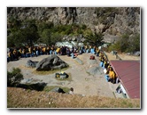
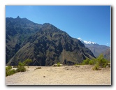
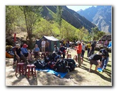
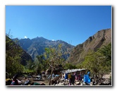
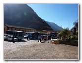 Getting Ready To Go |
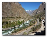
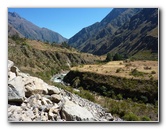
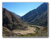
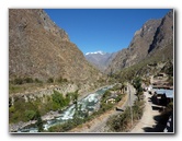 Train Tracks & River |
 |
| The Inca
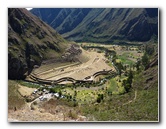
Hiking Trail or "Camino Inka-Inka" begins near the town of Ollantaytambo
in the Sacred Valley area of the Cusco Province of
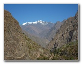
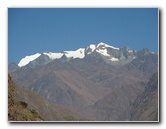
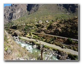
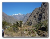
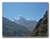
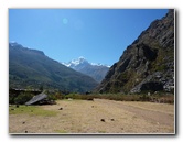
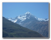
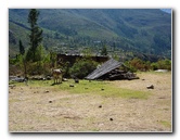
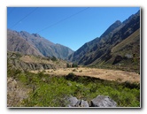
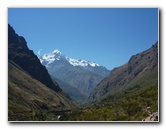
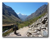
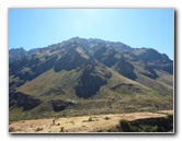
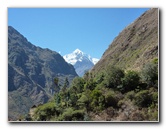
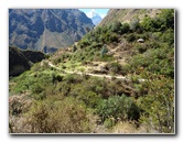
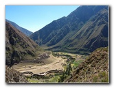
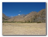
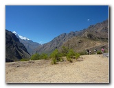
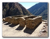
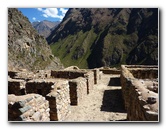
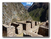
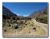
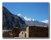
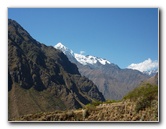
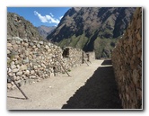
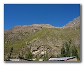
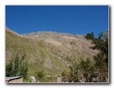
Peru, South America. It takes four days of hiking up into the Andes Mountains to reach Machu Picchu, the lost city of the Incas. The trail covers over 25 miles or about 45 kilometers or rugged terrain. Some of the stunning sights along the way include lush jungles, snow capped mountains, cloud forests, Inca ruins, tunnels, and ancient paving stones. Each of the hikers had a personal Peruvian porter (assistant) to help carry the water, food, tent and other supplies needed to complete the Inca Trail. To see pictures of the final destination, Machu Picchu, click on the preceding blue link. |
||
|
|
||
 |
 |
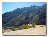
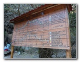
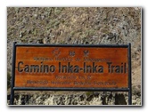 Camino Inka-Inka Sign |
 |
 |
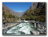 |
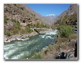
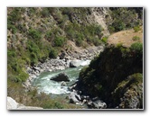
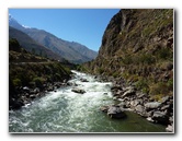 River |
 |
 |
 |
 |
 |
 |
 |
 |
 |
 |
 |
 |
 |
 |
 |
 |
 |
 |
 |
 |
 |
 |
 |
 |
 |
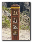 Inca Trail Sign |
 |
 |
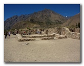 |
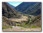
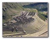
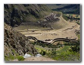
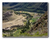
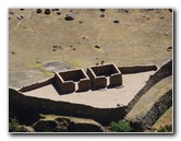
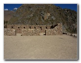
 Incan Ruins |
 |
 |
 |
 |
 |
 |
 |
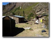 |
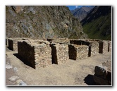
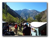
 First Night Camp |
 |
 |
 |
 |
 Inca Trail Map |
|
Home |
Next |
Last |